BLACK COCKATOO SURVEY WA
Black Cockatoo Surveys, Safeguard Your Project
Our Black Cockatoo Survey service delivers clear, data-driven habitat insights so you can move ahead with earthworks confidently and meet every regulatory checkpoint without delay.
BLACK COCKATOO WA
Targeted Habitat Mapping and Risk Advice
We pinpoint nest hollows, food trees and movement corridors to show exactly where Red-tailed, Carnaby’s and other black cockatoos forage. You receive a concise risk map, photo-referenced findings and practical mitigation steps, reducing costly surprises during construction or mineral exploration.
BLACK COCKATOO SURVEY
Local Experts Guiding WA Compliance
From the Pilbara to the South West forests, our wildlife experts know each regional guideline, permit trigger and seasonal behaviour pattern. That on-ground knowledge translates to time-saving survey windows, smooth Section 40 applications and fewer requests for additional information from regulators.
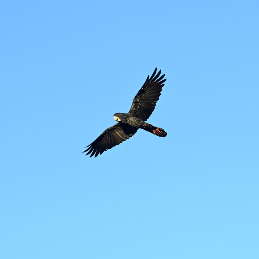
RED TAIL BLACK COCKATOO
Simplify Your Compliance, Protect Key Species
Black Cockatoos demand strict assessment under WA’s Biodiversity Conservation Act. We handle desktop reviews, field verification and reporting in one streamlined package, helping you demonstrate avoidance measures, offset options and net-positive outcomes that satisfy auditors and community stakeholders.
WHY CHOOSE US?
Trust Experience
We bring over 20 years of practical know-how in fauna management and environmental services, offering reliable guidance every step of the way
Government Savvy
We understand Section 40 permits and licensing requirements inside and out, helping you stay compliant with minimal stress.
Cost effective solution
We deliver high-quality services at fair prices, so you can meet your responsibilities without overstretching your budget.
Ethical Approach
We keep interactions with native fauna to a minimum, using responsible, sustainable methods that respect local ecosystems
Flexible and tailored
We create customised packages suited to each client's unique project needs, ensuring our support fits seamlessly into your operations.
Comprehensive support
We act as your one-stop shop, from detailed surveying and training to full compliance assistance, giving you confidence and peace of mind.

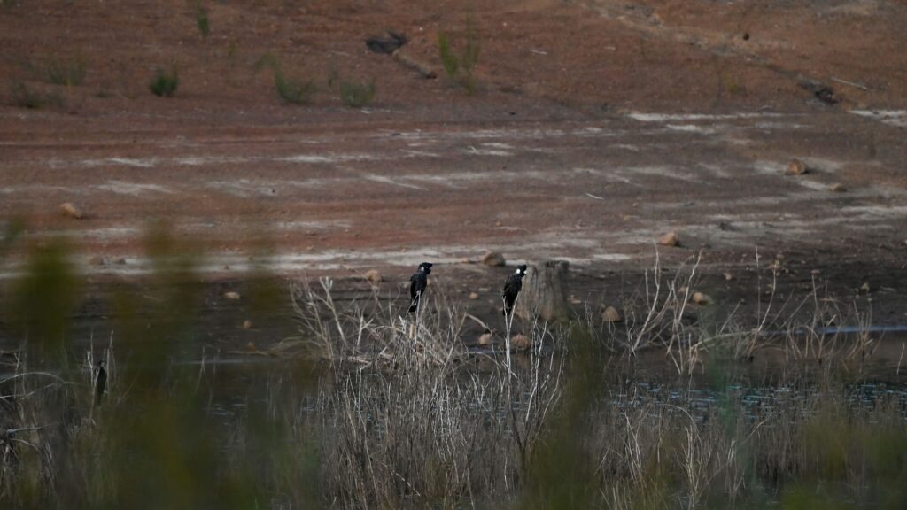
CARNABYS COCKATOO
Proactive Solutions for Black Cockatoo Recovery
Our team maps Black Cockatoo’s foraging habitat, monitors flock activity and designs buffer zones that preserve critical food sources. Detailed GIS layers integrate seamlessly with your project plans, letting planners adjust footprints early and avoid delays while contributing to the species’ long-term recovery goals.
Safeguard Your Site, Protect Our Wildlife
FAQs About Black Cockatoo Survey
Surveys are mandatory because each black cockatoo species is protected under state and federal legislation. Our team identifies nest hollows, roost sites and high-value feeding habitat that trigger clearing controls. By establishing accurate baseline data early, you can redesign footprints, add avoidance buffers, budget offsets and lodge Section 40 or EPBC permit applications that satisfy regulators, preventing costly stop-work orders once machinery is on site.
The field component usually spans two to four days for most sites, yet total turnaround depends on property size, vegetation complexity, terrain access and seasonal bird behaviour. Pre-survey desktop analysis, landholder consultation and GIS preparation ensure ecologists capture all relevant data once on site. After fieldwork we take roughly ten business days to process imagery, map habitat and compile a plain-English report ready for submission.
Your document includes an executive summary, detailed methodology, GPS-referenced habitat quality mapping, high-resolution photographs, nest tree condition assessments, species presence evidence such as chew marks or vocal records, and a full list of mitigation and offset actions. We also supply shapefiles and KML layers that integrate with your project GIS so planners and engineers can visualise constraints instantly and refine designs without delay.
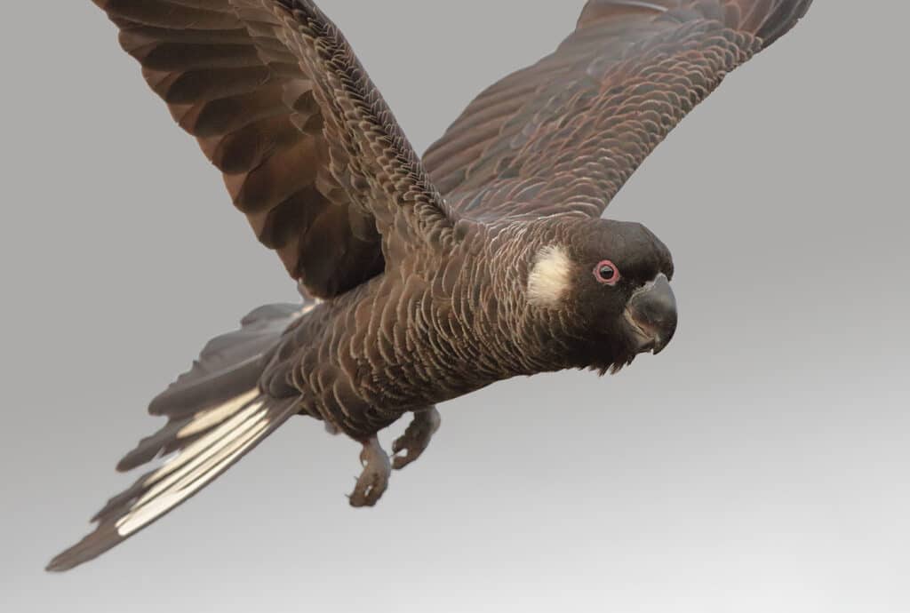
Yes, our qualified wildlife experts cover Forest Red-tailed Black Cockatoos, Carnaby’s Black Cockatoos and Baudin’s Black Cockatoos within a single survey program. Each species has unique breeding seasons, flock behaviours and habitat preferences, so we tailor timing, vantage points and call-playback techniques accordingly. Addressing them together reduces duplication, streamlines permitting and delivers a holistic risk picture that meets Biodiversity Conservation Act and EPBC Act expectations.
Conducting surveys during non-breeding months can meet approval conditions if methodology is carefully adjusted. We use supplementary evidence such as feeding residue, scarred hollows and digital acoustic monitoring to verify seasonal use when eggs or chicks are absent. Regulators may request a follow-up breeding check, but scheduling early baseline work lets you progress preliminary designs, costings and stakeholder consultations without losing the entire dry season.
For more than twenty years our senior consultants have partnered with Tier 1 miners, state infrastructure agencies and major residential developers across Western Australia. We integrate directly with environmental approvals teams, on-site HSE managers and engineering houses to align survey outputs with broader impact assessments. Our track record spans million-hectare tenements, rail corridors and port expansions, demonstrating our capacity to meet tight deadlines under complex logistics.
Start Securing Your Project and Protecting Wildlife
Partnering with us means you get a straightforward, supportive experience. Get in touch today so we can handle your environmental compliance while you focus on running your operation.